 The Market Monitor Minding the Nation's Business
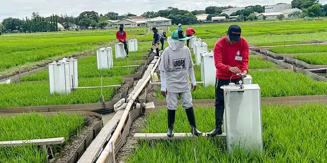
THE Philippine Rice Research Institute (PhilRice) said it has developed climate-smart maps to guide farmers in their planting decisions during the Super El Niño-induced dry spells.
The Vulnerability Risk Assessment maps can identify areas that may be affected by El Niño, PhilRice said, adding that the assessment examines each area’s drought exposure, crop sensitivity, and adaptive capacity, reported Business World.
Jesusa C. Beltran, head of PhilRice’s Rice Data Analytics Center, said other factors influencing the map include climatic water-balance conditions, crop water stress, stages of crop growth, farmer resources and practices, irrigation access, and available agricultural support.
“Through these maps, farmers can better understand their vulnerability level and the actions they can take. For local government units (LGUs), the maps serve as a guide for agricultural planning and the delivery of timely support,” Beltran said.
The map uses a color-coded system, which, PhilRice agronomist Ailon Oliver V. Capistrano said, designates less vulnerable areas as green, or safe for planting.
Moderately vulnerable areas are marked yellow, where planting can continue with added preparations, and includes consulting local governments for planting calendar adjustments, obtaining crop insurance, ensuring alternative water sources, and using drought-tolerant and early-maturing rice varieties such as Green Super Rice and Cordillera 3.
High-risk areas are colored orange, where farmers are advised to temporarily shift to crops that need less water, such as corn, mung bean, watermelon and pechay.
Red-colored areas are deemed at severe risk for drought and water shortage with farmers being advised to suspend rice farming.
Capristrano recommends that these farmers pursue alternatives such as raising livestock or looking for other sources of income.